Choose your license
Rights Managed:
One-time editorial use in an online article, social media channels, internal presentation, website, newsletter, or blog.
One-time editorial use in a book, newspaper or magazine (excluding cover page), external presentation. Limited to 5,000 circulation. This includes the rights available in the Standard license.
Media Info
Credit: KHARBINE-TAPABOR / LA COLLECTION
Media ID:
Recording Date: Jan 1, 1900
Media Size: 2,215×3,161 Pixels
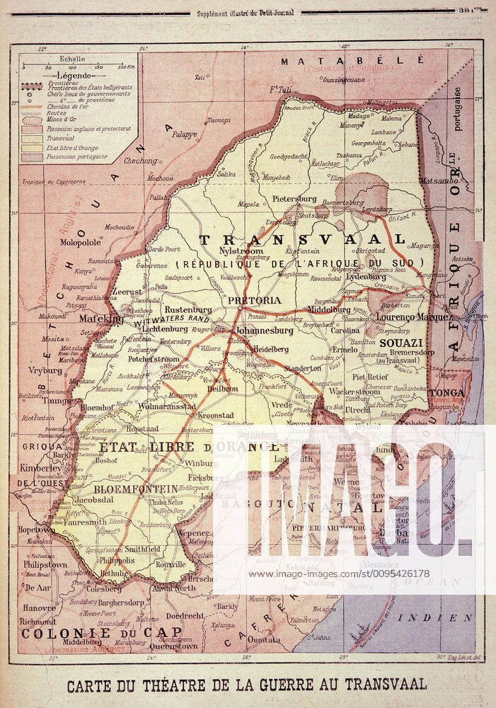
Boer War Map of the theatre of war in Transvaal, a war between the British and the Boer states of Transvaal, southern Africa, from 1899 to 1902 Illustration of the Petit Journal, undated Credit Collection KHARBINE TAPABOR KH414
Restrictions: This image can only be published in Germany, Switzerland and Austria.
Release Info: Do I need a release?
Captions may have been translated or enriched by an AI system.
For more information about AI-assisted captions, see AI-assisted captions.
Need a custom license?
If your intended use isn't covered by the available options (such as non-editorial purposes or specific distribution needs), contact us. Our team will be happy to provide a tailored offer based on your requirements.