Choose your license
Rights Managed:
One-time editorial use in an online article, social media channels, internal presentation, website, newsletter, or blog.
One-time editorial use in a book, newspaper or magazine (excluding cover page), external presentation. Limited to 5,000 circulation. This includes the rights available in the Standard license.
Media Info
Credit: GRANGER Historical Picture Archive
Media ID:
Recording Date: Jan 1, 1882
Media Size: 3,240×2,312 Pixels
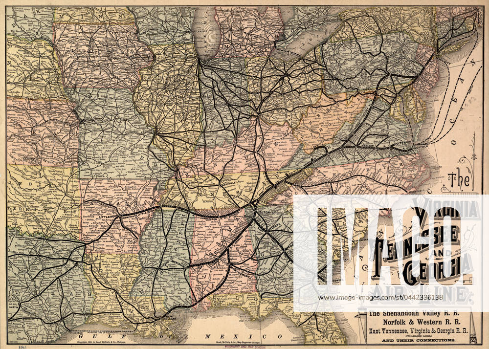
MAP: RAILROAD, 1882. The Virginia, Tennessee, and Georgia Air Line; the Shenandoah Valley R.R.; Norfolk & Western R.R.; East Tennessee, Virginia, & Georgia R.R... Map by Rand McNally & Co., 1882.
Restrictions: This image can not be published in United States, Canada, United Kingdom, France, Spain and Japan.
Release Info: Do I need a release?
Captions may have been translated or enriched by an AI system.
For more information about AI-assisted captions, see AI-assisted captions.
Need a custom license?
If your intended use isn't covered by the available options (such as non-editorial purposes or specific distribution needs), contact us. Our team will be happy to provide a tailored offer based on your requirements.