Choose your license
Rights Managed:
One-time editorial use in an online article, social media channels, internal presentation, website, newsletter, or blog.
One-time editorial use in a book, newspaper or magazine (excluding cover page), external presentation. Limited to 5,000 circulation. This includes the rights available in the Standard license.
Media Info
Credit: GRANGER Historical Picture Archive
Media ID:
Recording Date: Jan 1, 1861
Media Size: 3,240×2,642 Pixels
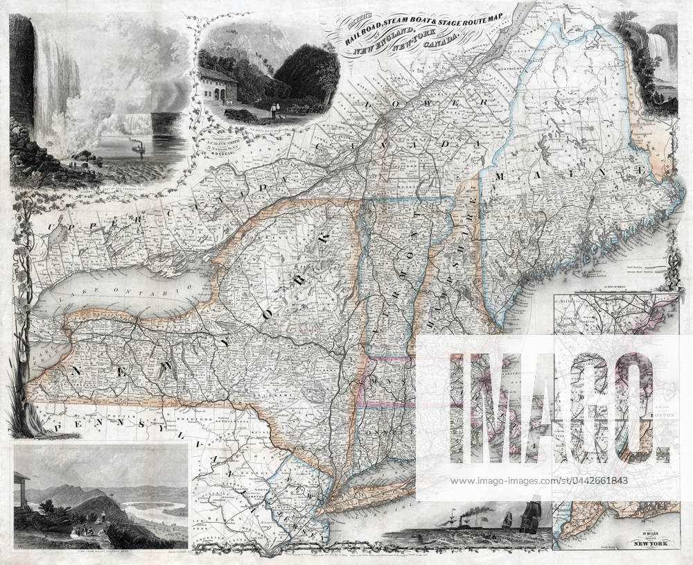
MAP: TRANSPORTATION ROUTE. Travel routes for railroad, steamboats and stagecoach through New England, New York, and Canada with inset maps 15 miles around Boston and New York. Line engraving by J.C. Smith, 1861.
Restrictions: This image can not be published in United States, Canada, United Kingdom, France, Spain and Japan.
Release Info: Do I need a release?
Captions may have been translated or enriched by an AI system.
For more information about AI-assisted captions, see AI-assisted captions.
Need a custom license?
If your intended use isn't covered by the available options (such as non-editorial purposes or specific distribution needs), contact us. Our team will be happy to provide a tailored offer based on your requirements.