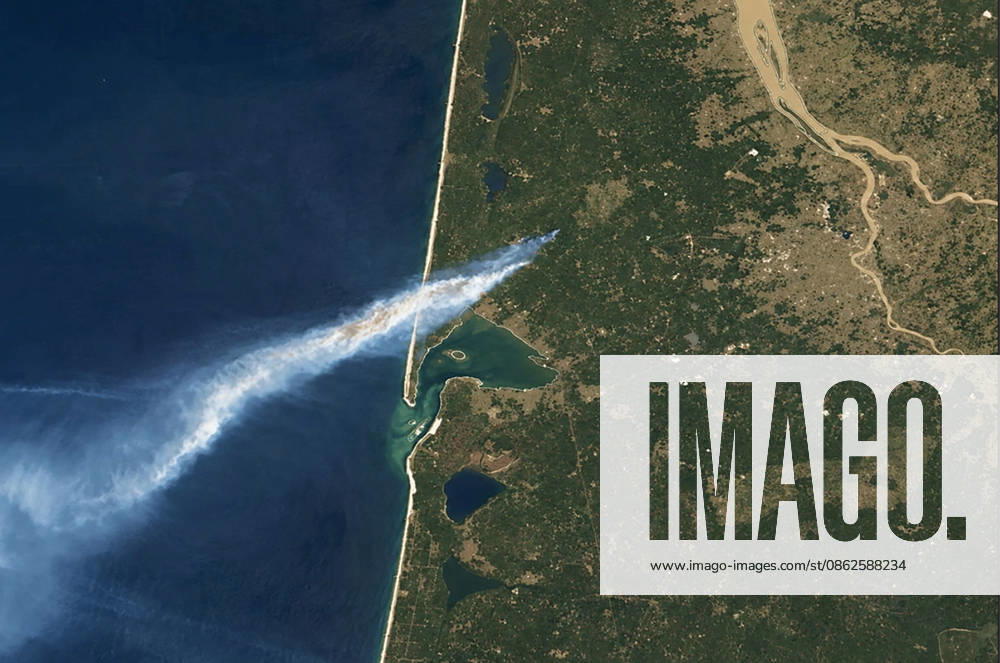
Even NASA satellites are picking up the massive wildfire ravaging the Gironde region on July 24, 2026. For the past few days, an unprecedented fire has been ravaging the northern part of the Arcachon Basin. Starting in Saumos, it has already reached Le Porge and Lège-Cap-Ferret, forcing the evacuation of tens of thousands of people. Thanks to NASA’s mapping tools, it is possible to track, in near real time, the spread of the flames and the extent of the smoke plume, which now covers the entire Southwest. NASA via Bestimage Even NASA satellites are capturing the massive fire ravaging the Gironde region on July 24, 2026. For several days, an extraordinary blaze has been tearing through the area north of the Arcachon Basin. Starting in Saumos
Choose your license
Rights Managed:
One-time editorial use in an online article, social media channels, internal presentation, website, newsletter, or blog.
One-time editorial use in a book, newspaper or magazine (excluding cover page), external presentation. Limited to 5,000 circulation. This includes the rights available in the Standard license.
Media Info
Credit: Bestimage
Media ID:
Recording Date: Jul 24, 2026
Media Size: 5,850×3,879 Pixels
Even NASA satellites are picking up the massive wildfire ravaging the Gironde region on July 24, 2026. For the past few days, an unprecedented fire has been ravaging the northern part of the Arcachon Basin. Starting in Saumos, it has already reached Le Porge and Lège-Cap-Ferret, forcing the evacuation of tens of thousands of people. Thanks to NASA’s mapping tools, it is possible to track, in near real time, the spread of the flames and the extent of the smoke plume, which now covers the entire Southwest. NASA via Bestimage Even NASA satellites are capturing the massive fire ravaging the Gironde region on July 24, 2026. For several days, an extraordinary blaze has been tearing through the area north of the Arcachon Basin. Starting in Saumos
Restrictions: This image can not be published in France, United Kingdom, United States, Australia and Belgium.
Release Info: Do I need a release?
Captions may have been translated or enriched by an AI system.
For more information about AI-assisted captions, see AI-assisted captions.
Need a custom license?
If your intended use isn't covered by the available options (such as non-editorial purposes or specific distribution needs), contact us. Our team will be happy to provide a tailored offer based on your requirements.